Drone Bathymetry Survey
We can provide sonar data, using drones, in difficult to access areas efficiently.
What are the benefits of drone based bathymetry surveys?
Access those difficult areas: where there is insufficient draft to enable a boat to operate in a location a drone should be able to as the draft requirement is very small.
Increased speed of survey: Mobilisation is typically slow with a marine project using a boat, but using a drone is considerably faster.
Merging data: Drone mapping data can be merged with drone sonar data to crate a complete picture of the area.
Where boats are not allowed: The drone is an option if a boat is not permitted in a location (eg drinking water) or where it is dangerous to launch a boat.
Highly repeatable survey method: Survey can be precisely re-run in the future, with the drone covering the exact same locations.
Survey Accuracy: We are using survey grade equipment to capture location information to provide you with data you can trust.

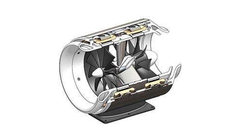
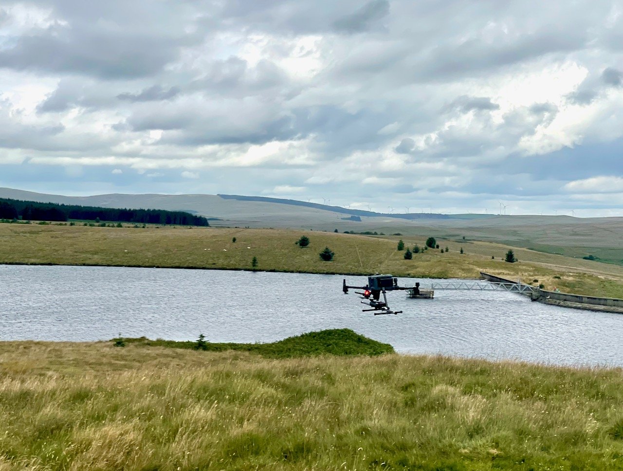
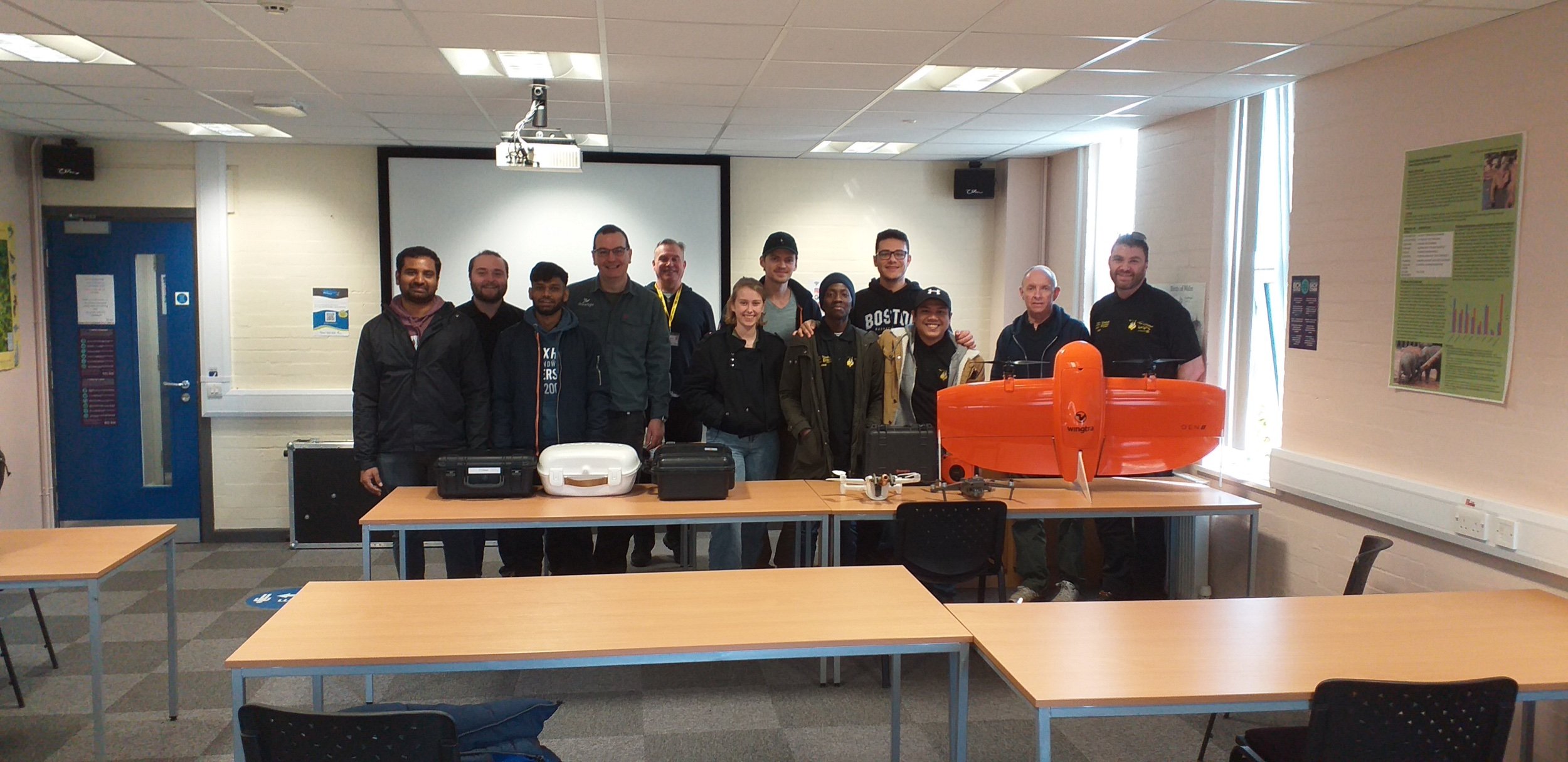
The Sensor Platform
This drone is a customised DJI M300 which has a radar system to enable the drone to accurately fly at a defined height over water. The primary use of this technology is building underwater topographical maps and models but it can also be used to measure sediment and also the extent of vegetation (including seagrass).
Our sonar is a dual frequency operating at 200kHz/450kHz.
The M300 is also equipped with survey grade RTK gps system to deliver accurate surveys.

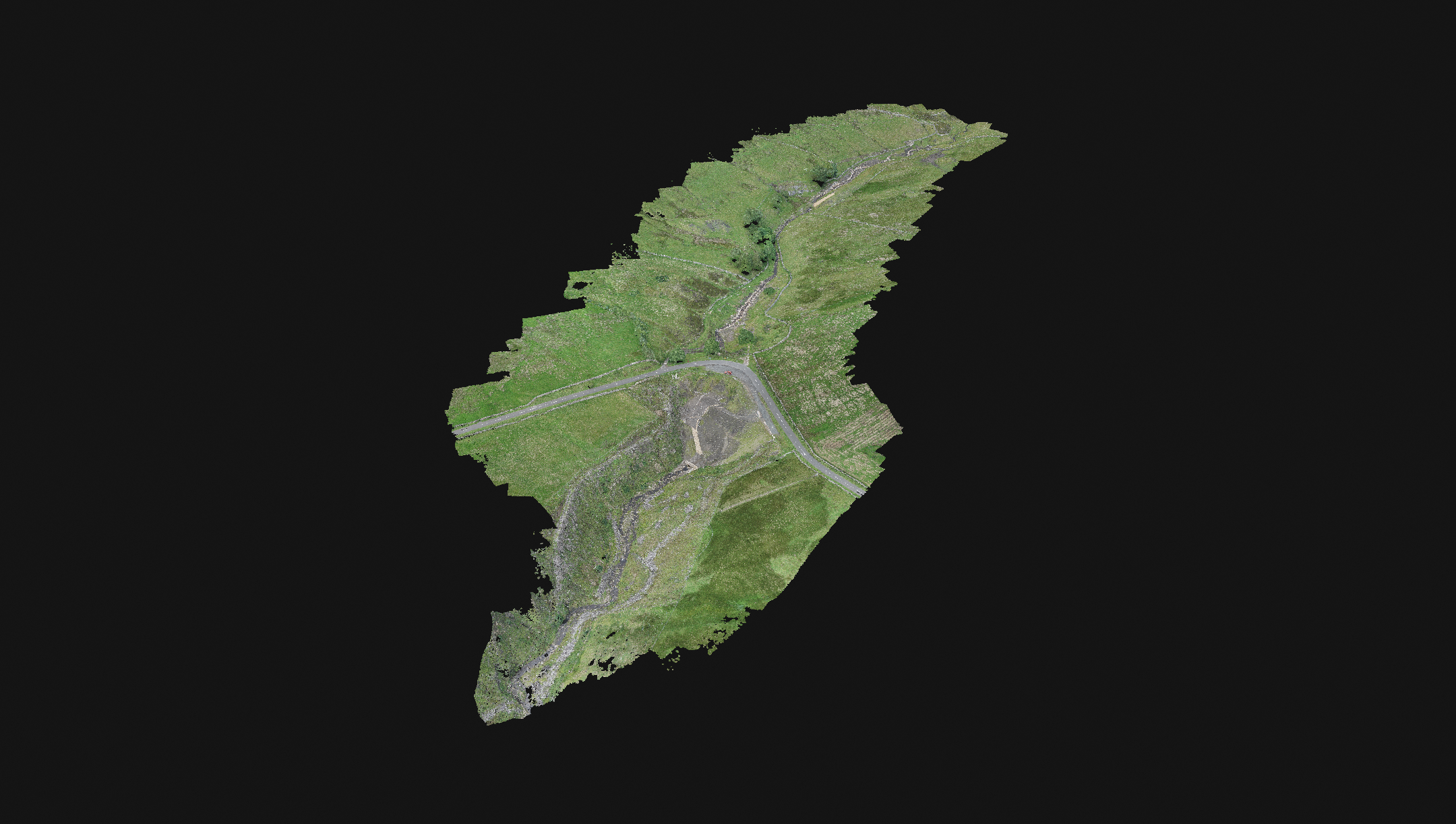
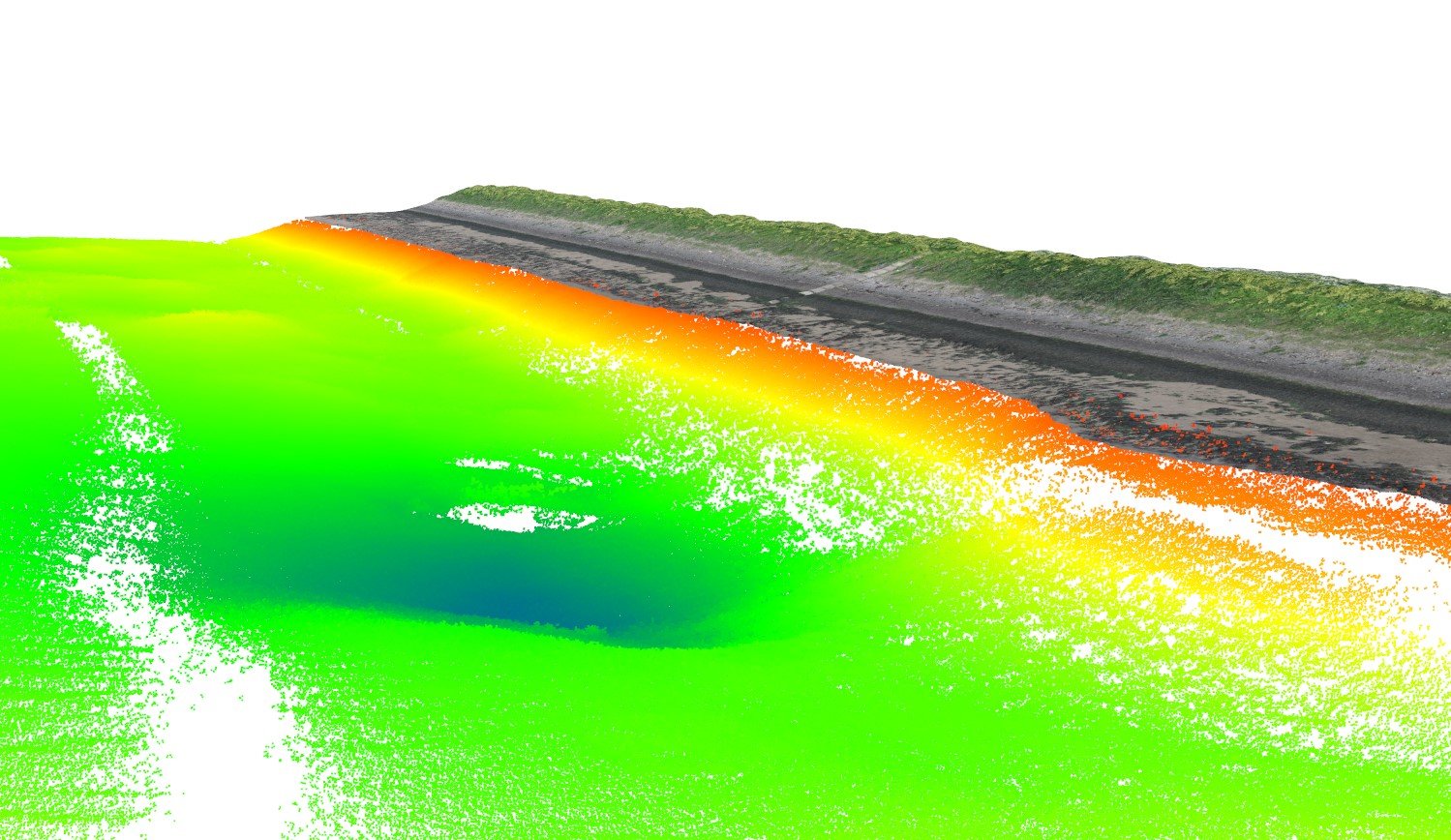
Merging Mapping and Sonar Data
Many projects require marine and land context mapping together. We can capture drone mapping data and drone sonar data and merge these into a single point cloud data set.
Enable your project to see the whole picture.

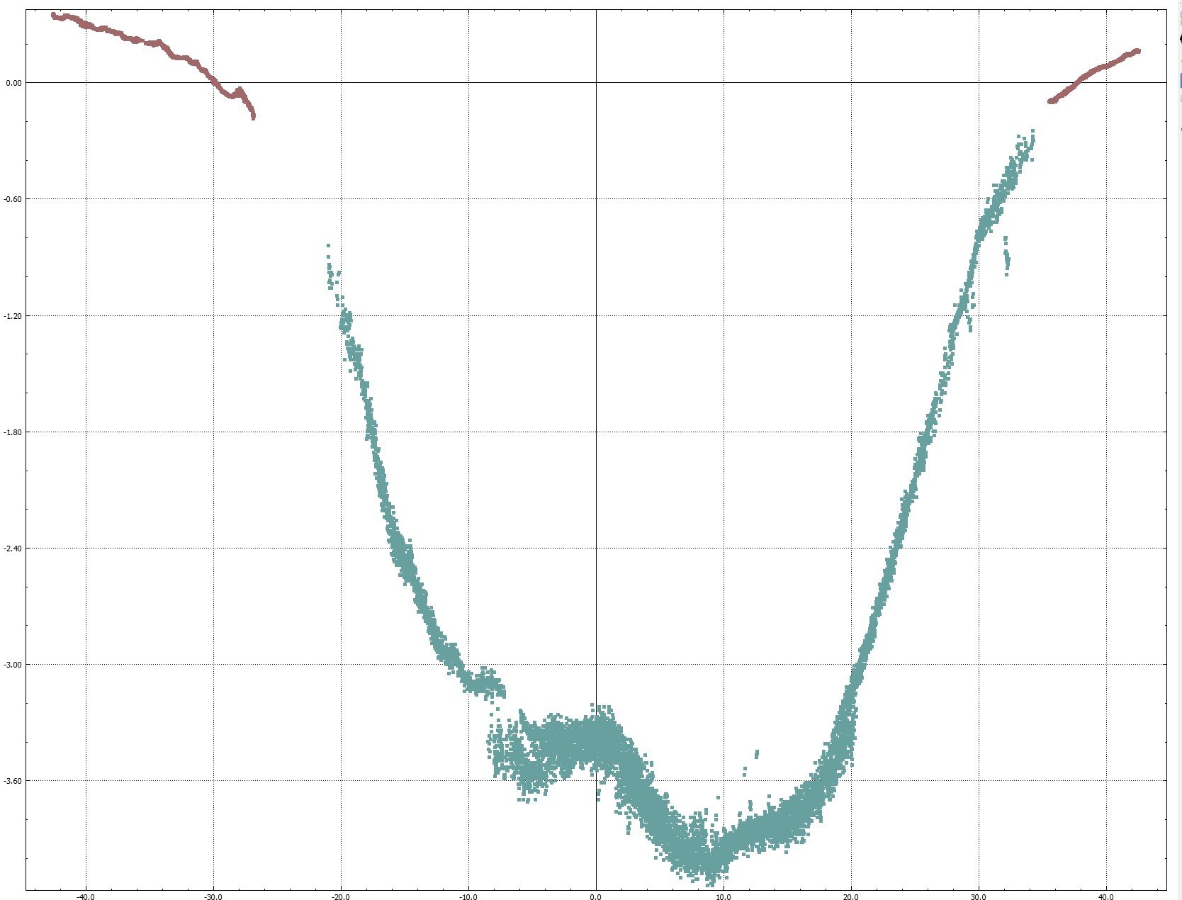
Mapping underwater vegetation
Using our dual frequency sonar we can build a difference matrix to identify areas of underwater vegetation and the depth of the vegetation.
The image to the right is showing the depth of the vegetation in the lake.
Talk to us
Give us a call to discuss your project and to see if it is a good fit for this technology.
EDIT BUTTON
News