
Our News
And some (possibly) interesting observations
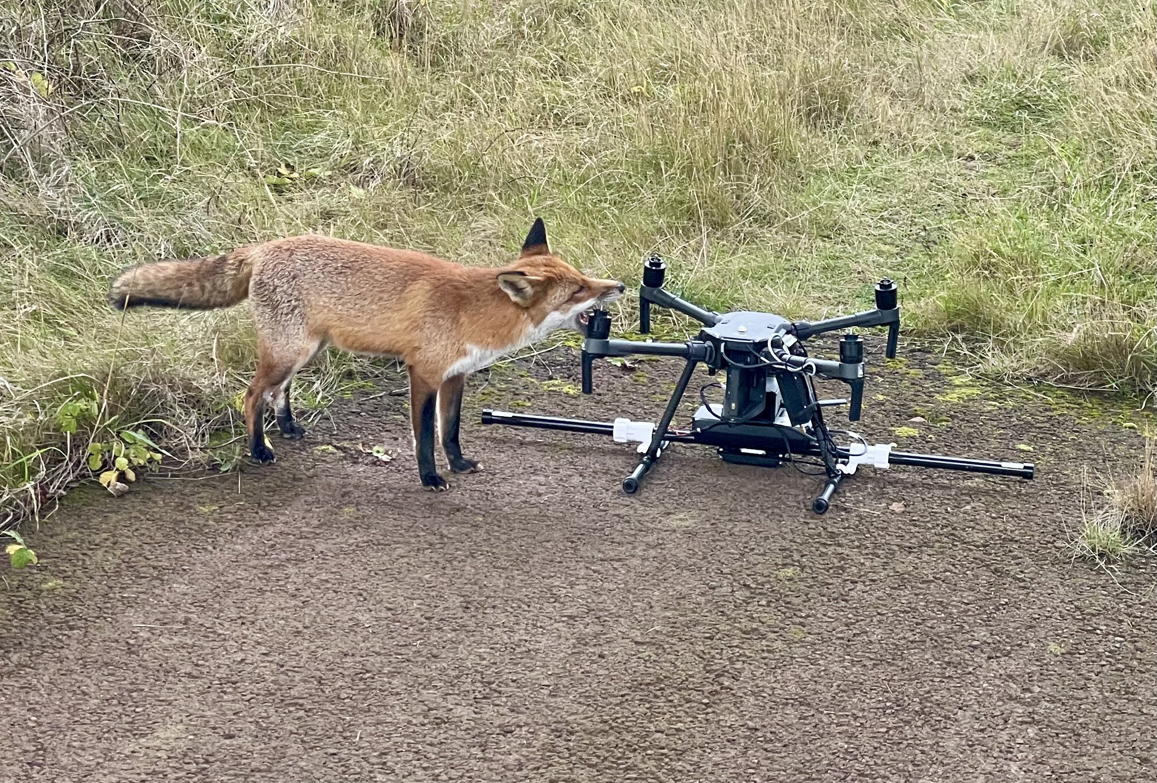
Mapping Metal Mine Restoration
England has a long history of mining for minerals which has contributed to our economic wellbeing but has left us with a legacy of hundreds of thousands of closed mine sites and the resulting impact on the environment.
Mapping Giant Hogweed
We are running a research project into mapping Giant Hogweed using RGB and Multispectral data. We are mapping a problem area on the river Tees with the Tees Rivers Trust. As we have been capturing this data over time the impact of the control work can be seen over time and the data might be able to help predictions of future spread.
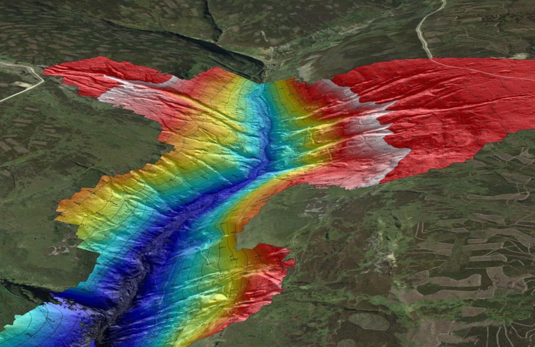
Intertidal Topographical Drone Survey
Droneflight completed a large intertidal drone survey on the east coast where drone data was merged with sonar data. During this survey the drone actually flew over 110 miles to capture the many many thousands of photos required to build the pointcloud.
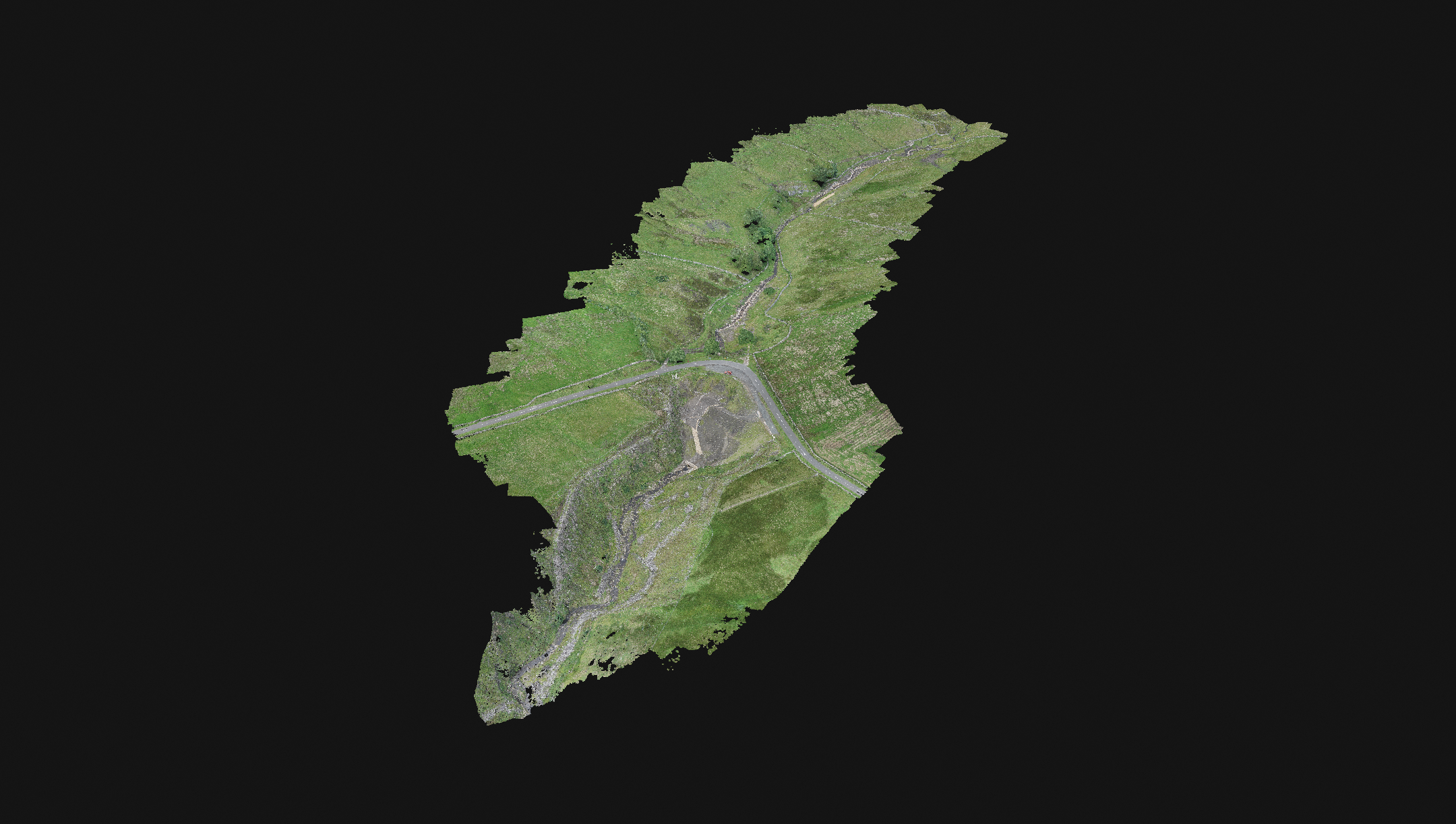
Large scale topographical surveys
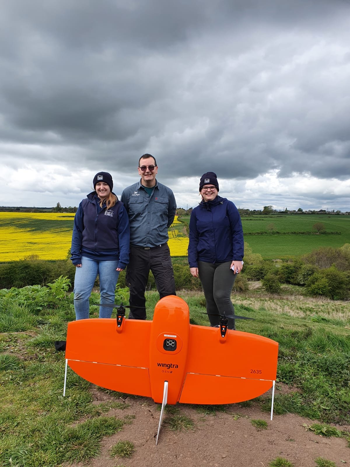
Droneflight were commissioned to conduct a programme of large topographical surveys across Yorkshire and Durham Dales. Each area was multiple square kilometers in scale and on challenging terrain. We used the Wingtra One drone to complete these missions.
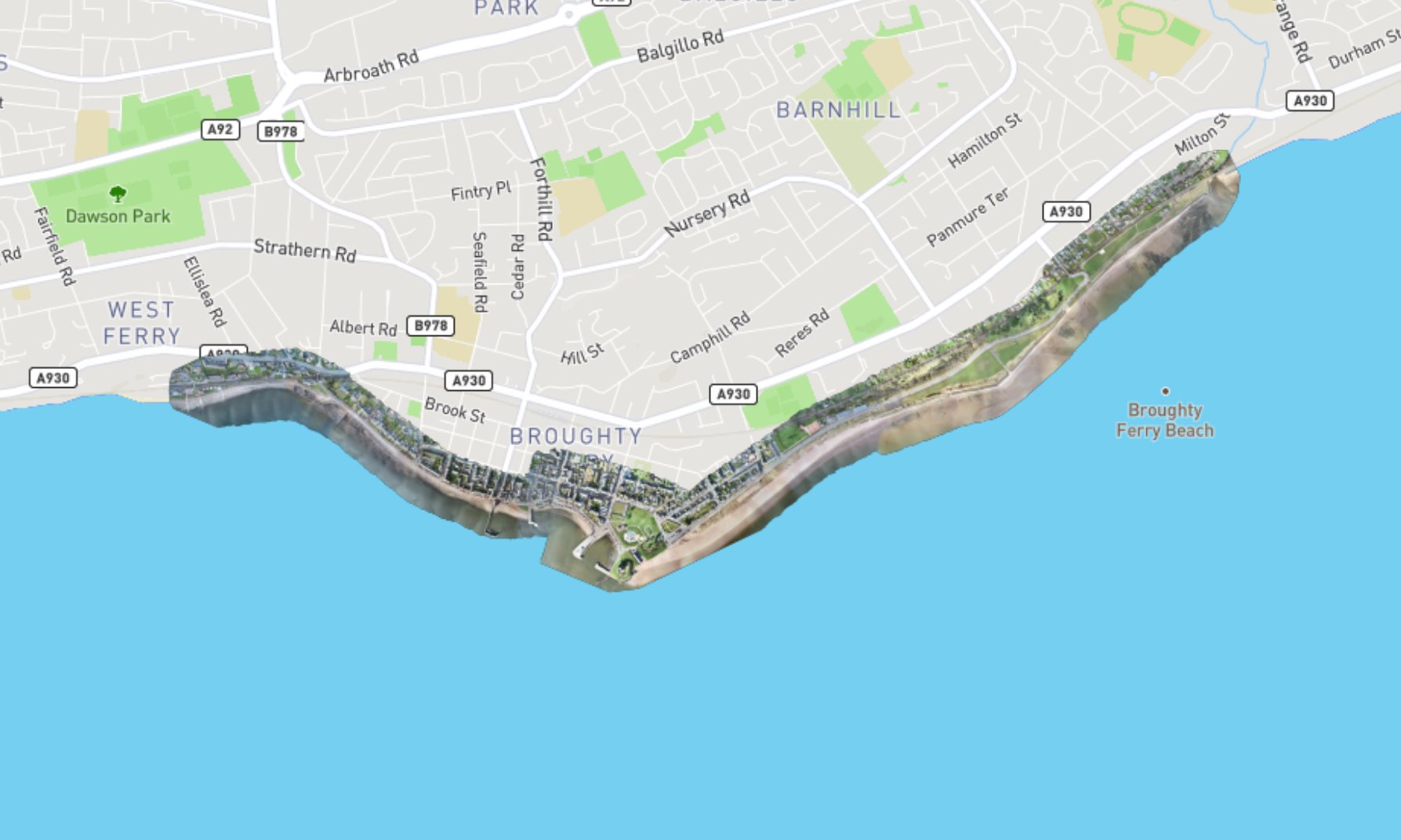
Corridor Mapping Dundee - Digital Twin
Droneflight were commissioned to capture an as-is state of a 4.3km x 400m area along the front at Broughty Ferry. This model confirmed the state of the area before construction works were to be undertaken.

Mapping Woolsthorpe Manor with Wrexham University
Droneflight was thrilled to provide support to Wrexham University’s MSC students project to map Isaac Newton’s house, Woolsthorpe Manor. The exercise was conducted in the same way a commercial drone survey would be undertaken: planning, ground control, flight execution and processing in PIX4D.