Magnetometer survey for ground characterisation and UXO
Providing data to support the Net Zero Teeside Programme
Brownfield developments of critical infrastructure need high quality data quickly. Drone magnetometry provided a faster route to this geotechnical and UXO survey data than other methods.
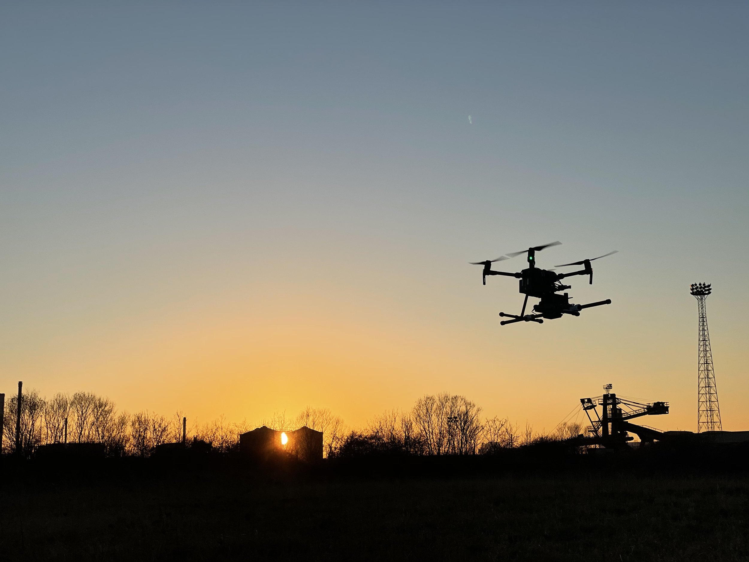
Droneflight were commissioned as part of a major critical national infrastructure programme to conduct a magnetometer survey of a very large area on a brownfield site. There were 2 classes of survey conducted: one to assist in ground characterisation, one to assist in UXO identification. Over 160 flights were executed to complete this engagement over approximately 50 Ha.

